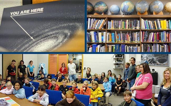
Are you a planetary science student or researcher? Find out how you can use SPIF resources for your research.
We offer assistance with finding and obtaining image data, processing and analysis, and finding collaborators for your project. We also develop and run workshops for using image analysis tools.
Future Workshops
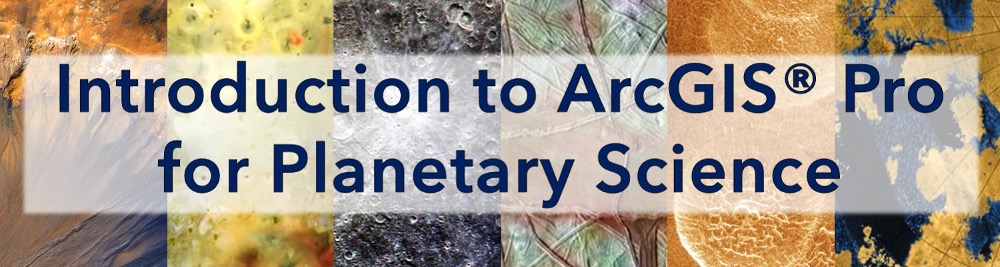
The next offering of our Introduction to ArcGIS® Pro for Planetary Science will be online on January 23, 2026. You can submit your notice of interest here. The deadline for submission is January 14, and only those who submit an NOI will receive an invitation to register on January 15.
These workshops are part of the Planetary Data Training Workshop program funded through NASA's Topical Workshops, Symposia, and Conferences (TWSC). You can contact us at spif@cornell.edu to be added to our email list and receive announcements of upcoming workshops.
Past Workshops
The new version of our workshop, updated for ArcGIS® Pro, has been taught at GSA Connects 2023 & 2024, as well as at Cornell and online in 2024 & 2025. Prior to that, we taught a hybrid version in ArcGIS® Desktop and Pro at GSA Connects 2021 and 2022, locally at Cornell in 2023, and virtually in conjunction with LPSC in 2023.
We are currently a member institution of the Planetary Data Training Workshops program, which offers a variety of workshops in ArcGIS®, ISIS3, JMARS, stero photogrammetry, and data management. If you would like to be added to an email list to receive announcements of upcoming workshops, please email us at spif@cornell.edu
We taught our workshop on ArcGIS Desktop (v10.4-8), Introduction to Image Analysis with ArcGIS®, at LPSC, GSA, OPvCon, and locally at Cornell from 2018 to 2020. Since support for ArcGIS® Desktop has now ended, we have fully retired this version of our workshop.